River Fal
One week cruise
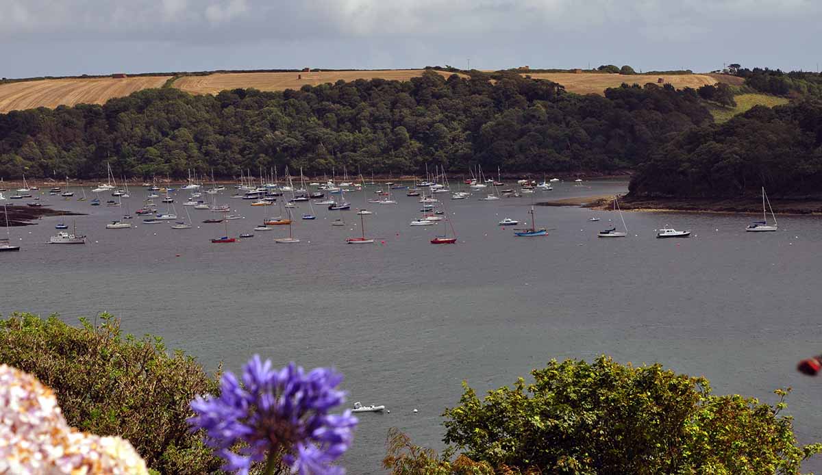
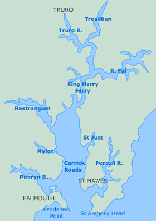
The River Fal rises on the Goss Moor near St Austell, in Cornwall's china clay district, and runs for some eighteen kilometers before reaching the ocean between Pendennis Point, just outside Falmouth, and St Anthony Head, on the Roseland Peninsula. At Sett bridge, near Ruan Lanihorne, the river turns into a tidal estuary, the largest of its kind in Cornwall. The Fal estuary, like most on the coast of Cornwall and Devon, is a former river valley that was drowned during the last ice age when the glaciers melted. The estuary, which is also known as the Carrick Roads, reaches depths of up to thirty four meters, is nowhere less than a mile wide, and constitutes the third largest natural harbour in the world.
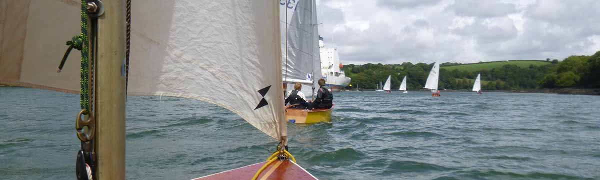
The Truro River is one of six main tributaries that eventually flow with the Fal into the Carrick Roads, along with twenty-eight minor creeks and rivers, many of them, such as the Penryn River and Restronguet Creek, navigable by boat. Along the entire reach of the river there are around four thousand five hundred moorings available for anything from yachts to deep water freighters, which are often 'mothballed' here during times of economic crisis, their incongruous size lending an eerie atmosphere to the picturesque estuary. Quite a shock to come across fairly large carge vessels so far up the river
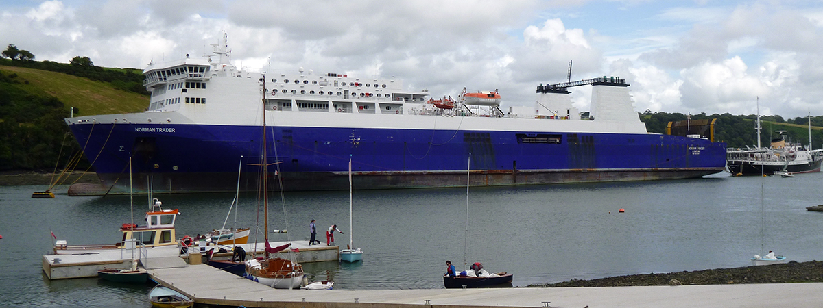
Quite far up the river you suddenly come across some very large ships parked up
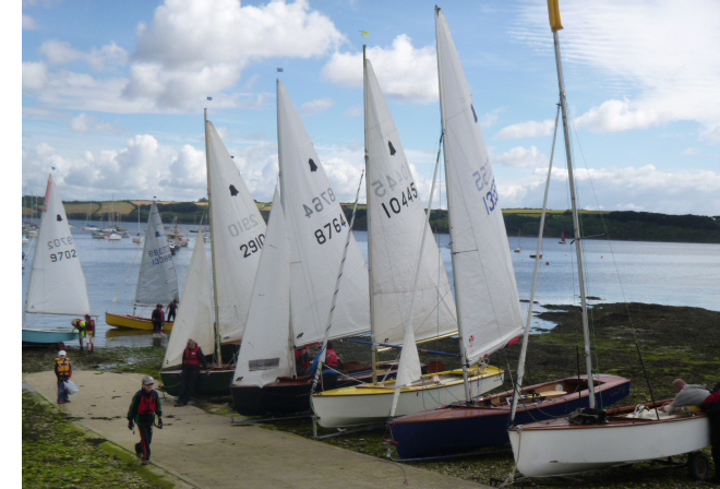
The GP14 Cruising section spent a week cruising this estuary. An excellent choice with plenty of places (pubs) to visit and some very interesting sailing experiences
We used the facilities of Restronquet Sailing Club - which were more than adequate. This is nicely place on the beach at Mylor
Ideal day cruising estuary - sailed to St Mawes and had a the usual picnic on the beach. Sailed one day to Truro, tied the boat up the railings in the Sainsbury's car park (last 100 mtrs had to 'walk' it through the mud as the tide had ran out).
.png)
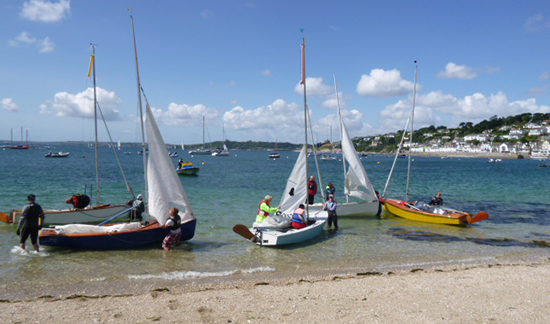
A good cruising area.
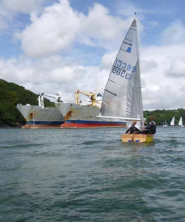
The river is used for parking ships!
Large car carrier on the bend. Must be quite interseting to take these boats up the river.
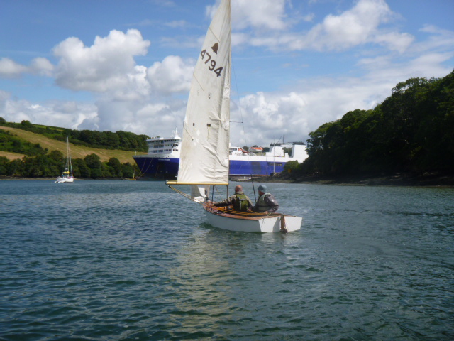
Going shopping in Falmouth
.png)
Going shopping in Truro!